TONDELA
N 40.512045; W 8.082901
It is the seat of a municipality with an area of 371.22 km² and 28,946 inhabitants (2011), subdivided into 19 parishes. The municipality is limited to the north by the municipality of Vouzela and the southern portion of Oliveira de Frades, to the northeast by Viseu, to the southeast by Carregal do Sal, to the south by Santa Comba Dão, to the southwest by Mortágua, and the west by Águeda.
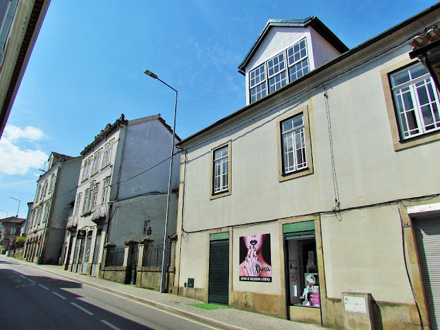
The lands of the municipality have a diversity of landscapes in which the charms of Serra do Caramulo, the plateau area of Vale de Besteiros, the immense forest spaces, rivers, and river beaches are combined. They are lands marked by the rigorous climate of Serra do Caramulo, with knowledge and traditions linked to pastoralism and agricultural work, with interesting clusters of granite houses; lands whose past has left a vast set of monuments of unquestionable value; they are also lands where the Dão River flows, areas of fertile green plateaus, fresh air, Sangemil thermal waters, in short, places that offer the visitor as havens of natural beauty.
One of Tondela's most famous local products is white wines, products of excellence from the Dão region.


Riodades (São João da Pesqueira);
Santa Comba Dão;
Santar (Nelas);
São João da Pesqueira + Trevões;
São Pedro do Sul;
Santa Comba Dão;
Santar (Nelas);
São João da Pesqueira + Trevões;
São Pedro do Sul;
São Martinho de Mouros (Resende);
São Pedro do Sul - Spa ;
Sátão;
Sernacelhe;
Tabuaço;
Tarouca + Ucanha;
Tondela;
São Pedro do Sul - Spa ;
Sátão;
Sernacelhe;
Tabuaço;
Tarouca + Ucanha;
Tondela;
Várzea - São Pedro do Sul (Spa);
Ventosa (Vouzela);
Vila Nova (Ventosa);
Vila Nova de Paiva;
VISEU;
Vouzela;
Ventosa (Vouzela);
Vila Nova (Ventosa);
Vila Nova de Paiva;
VISEU;
Vouzela;
💓💓💓💓💓
Return to mainland Portugal &
the Azores and Madeira islands


