
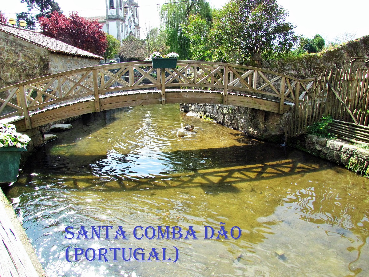
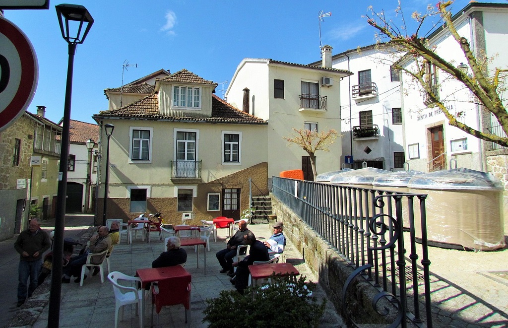
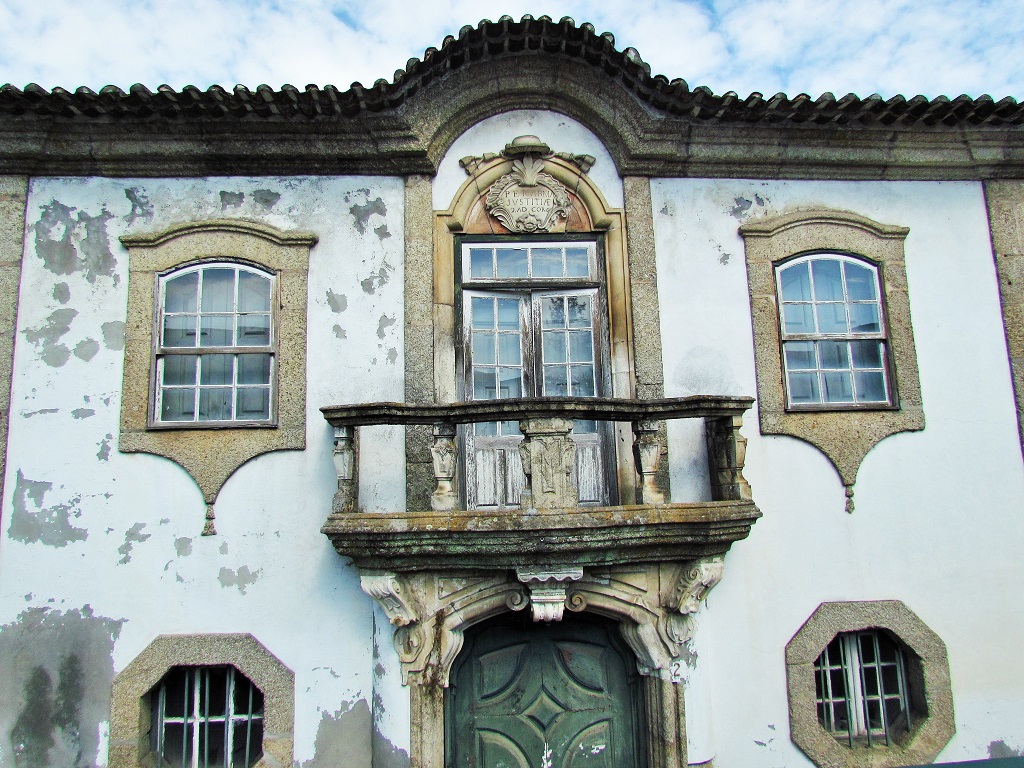
SANTA COMBA DÃO
GPS: N 40.39663; W 8.13243
It is the seat of a municipality with 111.95 km² of area and 11,597 inhabitants (2011), subdivided into 6 parishes. The municipality is limited to the north by the municipality of Tondela, to the east by Carregal do Sal, to the southeast by Tábua, to the south by Penacova, and to the west by Mortágua.


Riodades (São João da Pesqueira);
Santa Comba Dão;
Santar (Nelas);
São João da Pesqueira + Trevões;
São Pedro do Sul;
Santa Comba Dão;
Santar (Nelas);
São João da Pesqueira + Trevões;
São Pedro do Sul;
São Martinho de Mouros (Resende);
São Pedro do Sul - Spa ;
Sátão;
Sernacelhe;
Tabuaço;
Tarouca + Ucanha;
Tondela;
São Pedro do Sul - Spa ;
Sátão;
Sernacelhe;
Tabuaço;
Tarouca + Ucanha;
Tondela;
Várzea - São Pedro do Sul (Spa);
Ventosa (Vouzela);
Vila Nova (Ventosa);
Vila Nova de Paiva;
VISEU;
Vouzela;
Ventosa (Vouzela);
Vila Nova (Ventosa);
Vila Nova de Paiva;
VISEU;
Vouzela;
💓💓💓💓💓
Return to mainland Portugal &
the Azores and Madeira islands

