ERVEDOSA DO DOURO
41° 10' N; 7° 29' W
Geography
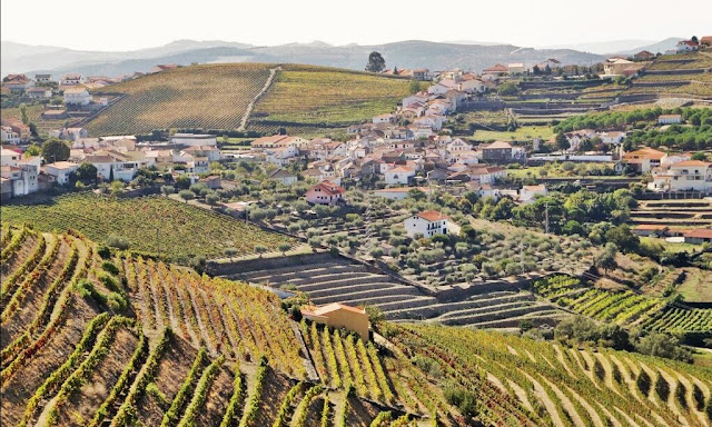
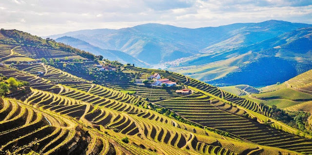
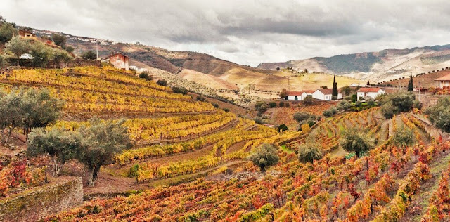
About 7 km west of São João da Pesqueira, Ervedosa do Douro is the largest producer of fortified wine in the Douro Demarcated Region and the parish with the largest area in the World Heritage spot.
Monuments
The Church of S. Vicente, rebuilt in 1841, features a magnificent baroque gilded carved throne. In the baptistery, there are old images of S. Miguel and S. Sebastião, pre-national cults.
Casa do Cão, an emblazoned house, is a building that stands out from the civil architecture with some apparatus and has stones from the Saavedras coat of arms. From the zoomorphic insignia that appears on the crest, over the coat of arms, came the name with which the people baptized it.
SÃO XISTO
N 41.1415801º, W 7.3423548º
The predominance of schist is visible right at the entrance to the village, where there is a plaque with its name. From here, the road continues for a few more metres, through twists and turns, to the entrance to the village, where there is an atrium where you can leave your cars. Although there are other parking lots inside the village, we recommend leaving your car here and walking.
Riodades (São João da Pesqueira);
Santa Comba Dão;
Santar (Nelas);
São João da Pesqueira + Trevões;
São Pedro do Sul;
Santa Comba Dão;
Santar (Nelas);
São João da Pesqueira + Trevões;
São Pedro do Sul;
São Martinho de Mouros (Resende);
São Pedro do Sul - Spa ;
Sátão;
Sernacelhe;
Tabuaço;
Tarouca + Ucanha;
Tondela;
São Pedro do Sul - Spa ;
Sátão;
Sernacelhe;
Tabuaço;
Tarouca + Ucanha;
Tondela;
Várzea - São Pedro do Sul (Spa);
Ventosa (Vouzela);
Vila Nova (Ventosa);
Vila Nova de Paiva;
VISEU;
Vouzela;
Ventosa (Vouzela);
Vila Nova (Ventosa);
Vila Nova de Paiva;
VISEU;
Vouzela;
💓💓💓💓💓
Return to mainland Portugal &
the Azores and Madeira islands


