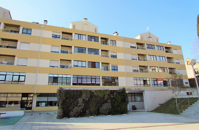
SÃO PEDRO DO SUL
GPS: N40.75546; W 8.06786
It is the seat of a municipality with 348.95 km² on area and 16,851 inhabitants (2011), subdivided into 14 parishes.
The municipality is located in the north, along the Castro valley (southeast of Viseu), bordered in the south by Vouzela, to the south and west by Oliveira de Frades (northern section), in the west by Vale de Cambra, and in the northwest by Arouca.
São Pedro do Sul is a municipality in the valley of Lafões, framed by the massifs of the sierras of Arada, Gralheira, and São Macário. These massifs with green landscapes and crystalline watercourses, hide many settlements. From the peak of São Macário, at 1,054 meters (3,458 ft) altitude, there are the views of the mountain range of Montemuro, Estrela, and Caramulo.
One of the oldest monuments of the region is the "Pedra Escrita" which is a written granitic megalith dated from the 10th century BC.
In the region exist 3 known "Castros". The Castro is a fortified village that began to be inhabited from the 6th century BC, lacking streets of right angles and full of construction almost always circular. One of the Castros in São Pedro do Sul is Castro da Cárcoda.
In the region exist several Roman bridges and Roman Thermal Spas.
São Pedro do Sul was the southern border of the Kingdom of Portugal at the time of the Foundation of the country, being the natural border the river Vouga that's the reason for the name "Saint Peter of South".
Thermal Town
São Pedro do Sul is worldwide famous for the thermal baths dating back to pre-Roman time.
Riodades (São João da Pesqueira);
Santa Comba Dão;
Santar (Nelas);
São João da Pesqueira + Trevões;
São Pedro do Sul;
Santa Comba Dão;
Santar (Nelas);
São João da Pesqueira + Trevões;
São Pedro do Sul;
São Martinho de Mouros (Resende);
São Pedro do Sul - Spa ;
Sátão;
Sernacelhe;
Tabuaço;
Tarouca + Ucanha;
Tondela;
São Pedro do Sul - Spa ;
Sátão;
Sernacelhe;
Tabuaço;
Tarouca + Ucanha;
Tondela;
Várzea - São Pedro do Sul (Spa);
Ventosa (Vouzela);
Vila Nova (Ventosa);
Vila Nova de Paiva;
VISEU;
Vouzela;
Ventosa (Vouzela);
Vila Nova (Ventosa);
Vila Nova de Paiva;
VISEU;
Vouzela;
💓💓💓💓💓
Return to mainland Portugal &
the Azores and Madeira islands


